
So-called decentralized festivals that turn an entire city into their stage have become a global megatrend. Seoul Design Week 2026 linked around 150 design and cultural locations in five key districts—Dongdaemun, Yeonhui, Seongsu, Seochon and Apgujeong—as Seoul Design Road, centred on its main hub, DDP (Dongdaemun Design Plaza).
From a field practitioner’s perspective, however, a digital map or leaflet densely marked with the addresses of 150 participating venues is less a helpful visitor guide than information overload and a maze of routes. What visitors can actually use when they leave home is not a list of spaces, but usable visiting time.
1. The lesson from Tallinn Design Festival: offer feasible combinations rather than every location
Estonia’s Tallinn Design Festival offers a practical answer to how decentralized events should be curated.
- Turn the Hub & Satellite structure into a timeline: Tallinn used Põhjala Tehas as its main hub, while announcing satellite programmes at nearby studios, showrooms and museums strictly in slots by date and time.
- Synchronize advance-booking conditions beforehand: the differing advance-registration requirements and last-admission times for each seminar, showroom workshop and Telliskivi tour were mapped one-to-one onto the timetable. Instead of encouraging visitors to cover dozens of venues, this guided them towards a realistic itinerary of two or three stops that connected smoothly within the time they had available.
2. The gap between a desk-based map and the route on site: entrance-to-entrance walking measurements are missing
One of the planning team’s most common mistakes when making a map is building an itinerary around simple straight-line distances or walking-time estimates from Naver Maps or Google Maps alone.
- Omitting the combined last-mile bottlenecks: map apps do not capture traffic-light waits between a subway exit and a venue’s front gate, the gradient of an alley, passing through a building’s security checkpoint or the time spent waiting for a lift.
- Interference between last admission and visiting time: if venue A closes at 18:00 and takes 40 minutes to view, visitors must pass through its gate before 17:20. If an itinerary simply connects stops until 18:00 without accounting for the journey to venue B, visitors end up complaining in front of firmly closed shutters, becoming the source of on-site grievances.
3. A four-stage process for verifying decentralized venues
The lead on-site planner and the visitor-route operations team must carry out the following four-stage verification process before producing printed materials or distributing information online.
| Stage | Actions |
|---|---|
| [Stage 1: Collect visit conditions using one standard form] | Opening days of the week, daily opening hours, last-admission deadline, whether advance booking is mandatory, and the location of the actual entrance gate |
| [Stage 2: Measure the physical walk between entrances (Ground-truth Test)] | Measure the actual entrance-to-entrance walk and crossings, plus time using stairs or lifts, rather than relying on map coordinates |
| [Stage 3: Add visiting time and a queue buffer] | For a 90-minute or half-day itinerary, slim down the route to the number of venues that visitors can physically complete within the recommended time |
| [Stage 4: Synchronize the three main channels (Sync-up)] | Standardize venue names and operating rules across the online web map, printed leaflet and X-banner at each venue entrance |
4. Change Management: guard against the absence of a single reporting channel
An event involving as many as 150 private venues will inevitably face unexpected situations during its run. Typical examples include a showroom closing early, a detour caused by entrance construction or access restrictions for a private booking.
- Establish a single operations-headquarters hotline: create a direct contact system through which managers at all 150 locations can report operating changes in real time.
- A system for simultaneous online and offline updates: posting a notice only on the web map while leaving on-site banners and printed-material information desks unchanged will send visitor confusion out of control. Changes on the day must be linked immediately to the daily briefing board at the main visitor information desk and to mobile push notifications.
A planner’s note: a good festival map tells visitors which places to skip
For a project linking several districts, increasing the number of participating partners to 100 or 150 is merely an achievement for the organiser; for visitors, it is the beginning of fatigue.
A professional planner’s map should not boast of 150 coordinates. It should point to a verified two-hour route that lets visitors leave DDP at 14:00, see two studios in Seongsu-dong and arrive in time for an evening seminar. Before pressing the map’s print button, have the operations staff put on a stopwatch and walked between the entrances themselves? A map without that sweat is no different from rubbish discarded on site.
Conditions for applying this elsewhere
When a main hub and satellite venues span several districts, appoint one change channel and update online, printed and entrance information together.
Information not established
The 150 Seoul venues are the announced network size. Actual compliance with opening arrangements, travel times and route-validation results are not provided.
Reference material
Next tasks and related resources
Venue access conditions and a timed, validated recommended itinerary
Related practical guides
Venue Relocation
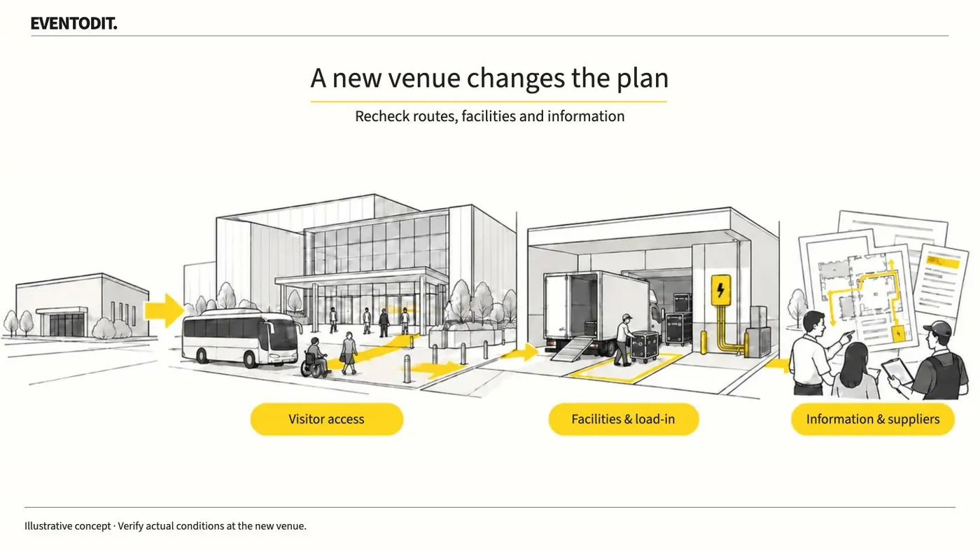
A venue move changes how visitors arrive, queue and travel between programmes. Check those conditions at the new site and update the plan, running order, visitor information and supplier orders together.
Read guideHave a correction or additional evidence? Request a correction